MONOJIT SAHA

Cryosphere||Changing Climate|| Remote Sensing

About Me

I'm a remote sensing enthusiast trying to learn more about the changing planet

My research focuses on the interaction between the fields of satellite remote sensing and climate science. Currently, I’m focused on the changing arctic sea ice where I’m working on applying advanced remote sensing techniques to improve monitoring of the changing sea ice. I’m also interested on developing physically informed earth observation-based products useful for community based applications.

Interests

Education

M.S. in Environment and Geography, 2023

Centre for Earth Observation Science, University of Manitoba

B.Sc in Environment and Geography, 2019

University of Dhaka

Curriculum Vitae
Publications
  • Mahboob, M., Saha, M. & Hossain, M.I. (2023) Spatial assessment of the seasonal impact of brickfields on air pollution in Dhaka metropolitan area using ordination techniques, Air Qual Atmos Health , https://doi.org/10.1007/s11869-023-01345-w
  • Saha,M, Sauda, S.S., Real,H.R.K. Mahmud, M.,(2022) Estimation of annual rate and spatial distribution of soil erosion in the Jamuna basin using RUSLE model: A geospatial approach, Environmental Challenges,8, doi: https://doi.org/10.1016/j.envc.2022.100524.
  • Sarif M.N., Siddiqui L., Islam M.S., Parveen N. & Saha M. (2021) Evolution of rivercourse and morphometric features of the River Ganga: A case study of up and downstream of FarakkaBarrage, International Soil and Water Conservation Research , doi: https://doi.org/10.1016/j.iswcr.2021.01.006.
  • Roy, S., Saha, M., Dhar, B., Pandit, S., Nasrin, R. (2020) Geospatial analysis of COVID-19 lockdown effects on air quality in the South and Southeast Asian region, Science of the Total Environment, 756, doi: https://doi.org/10.1016/j.scitotenv.2020.144009.
  • Lam, H.M., Geldsetzer, T., Yackel, J., Howell, S.E.L., Saha,M., Stroeve, J. & Nandan, V. (2022) In situ snow depth on sea ice records in the Canadian Arctic (1955-2019) and Development plans for multi-satellite snow depth retrieval on landfast sea ice, Presented at CMOS-CGU-ESC 2022 Joint Congress.
  • Lam, H.M., Geldsetzer, T., Howell, Yackel, J., S.E.L., Saha,M., Stroeve, J. & Nanda, V. (2022) Estimating near-shore winter snow depth on landfast sea ice in the Canadian Arctic from satellite altimetry and SAR imagery, Presented at the Living Planet Symposium 2022.
  • Saha, M. and Sauda, S. S., (2020) Rapid Upstream Rainfall Induced Flood Mapping and Monitoring Using Open Source Data: A Case of the July 2020 Flood In the Jamuna Basin, Presented at the American Geophysical Union Fall Meeting 2020.
  • Saha, M., Sauda, S.S., Mahmud, M.S. (2019) Estimation of Annual Soil Erosion Rate using RUSLE: A Study On The Jamuna River Sub-basin in Bangladesh, presented at the European Space Agency (ESA) Living Planet Symposium 2019, Milan, Italy, 13-17th May.
  • S.S. Sauda and Saha,M. (2018) Flood Vulnerability Mapping and Associated Applications in Resource Management and Disaster Risk Reduction: a case of Sunamganj District in Bangladesh, Presented at the 3rd CSD Annual Conference on Sustainable Development, Dhaka October 21-22, 2018
  • Saha, M., Haque, M., Dhar, B. and Islam, M.S. (2018) Application of Remote Sensing to Assess Bank-Line Shifting and channel dynamics of Teesta River in Bangladesh, BAPA-BEN Special Conference on Flood, Waterlogging and Landslides, Dhaka, Bangladesh, January 12-13 2018
Field Campaigns
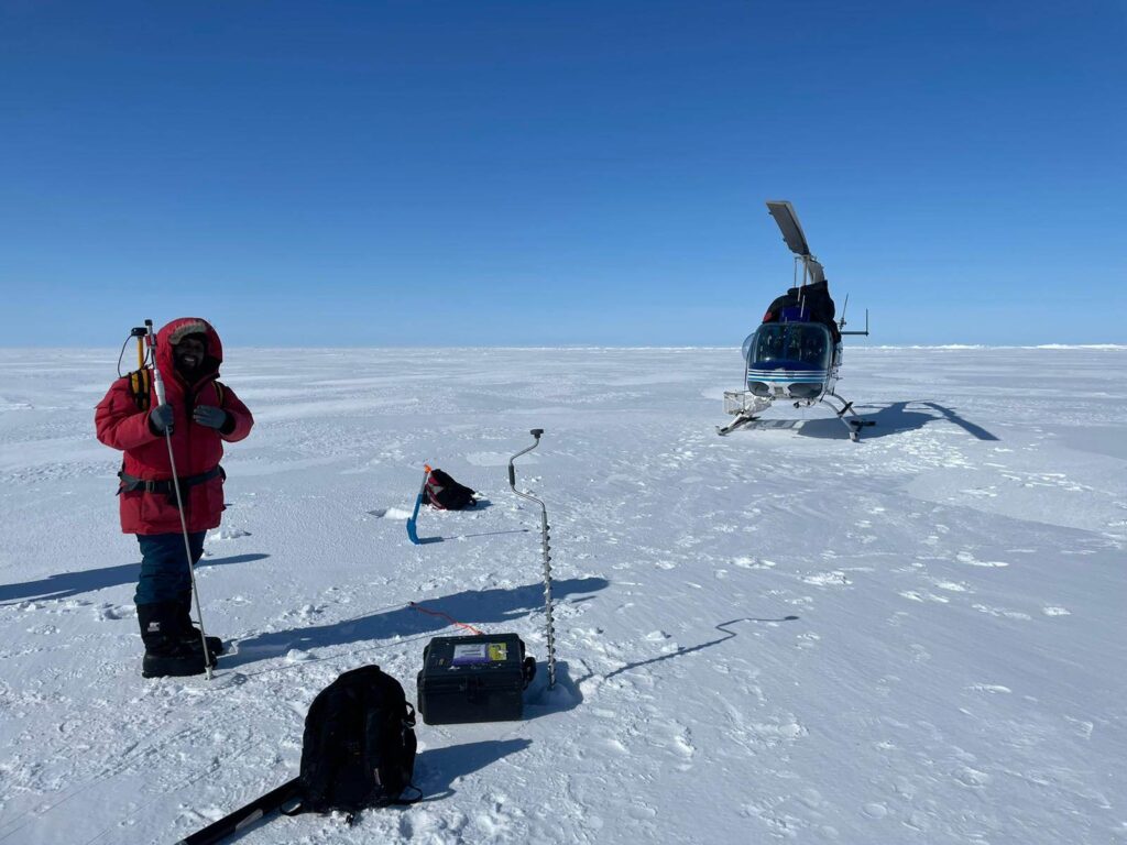
CRYO2ICE Validation Campaign at Cambridge Bay, Nunavut, April 2022
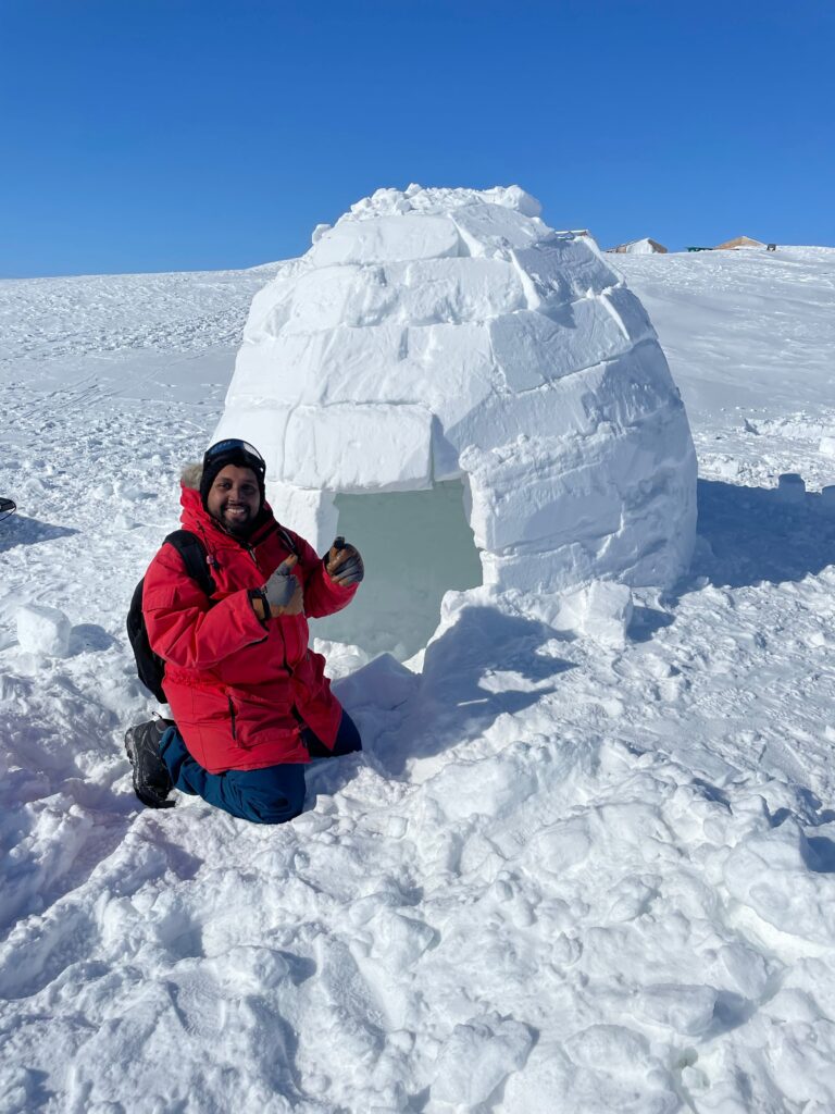
First time I saw an igloo @Cambridge Bay, Nunavut
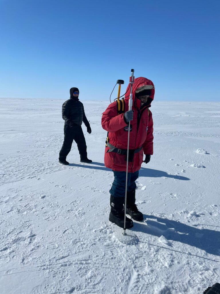
Measuring snow depth using a Magnaprobe during the CRYO2ICE validation campaign @Cambridge Bay, Nunavut
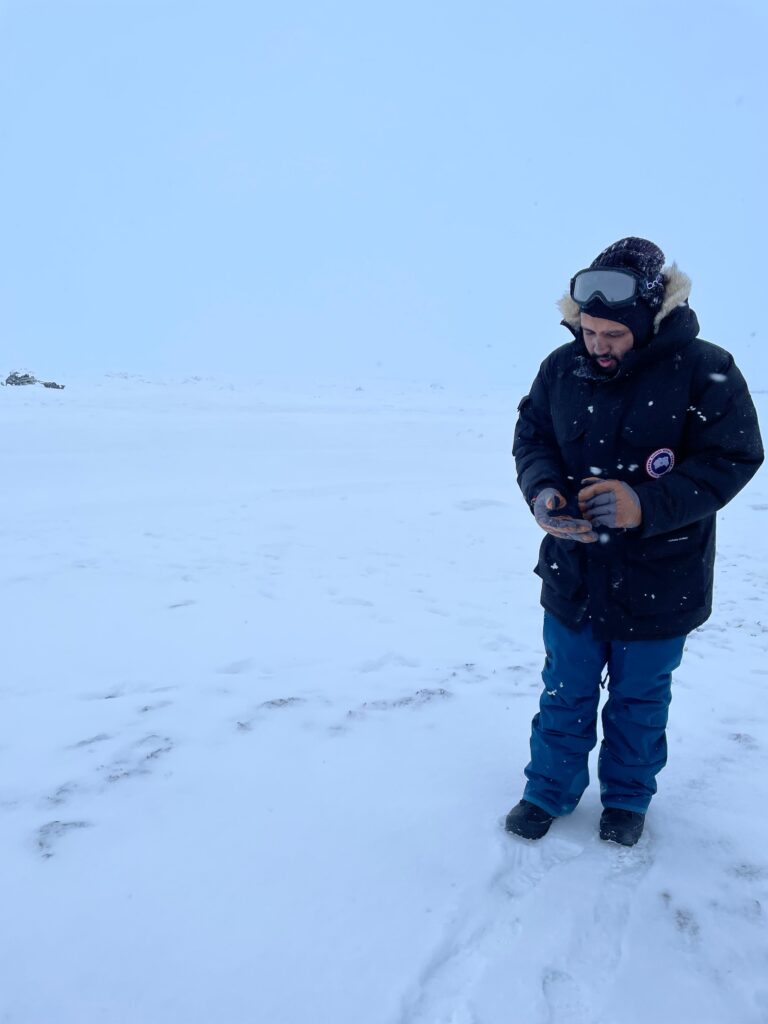
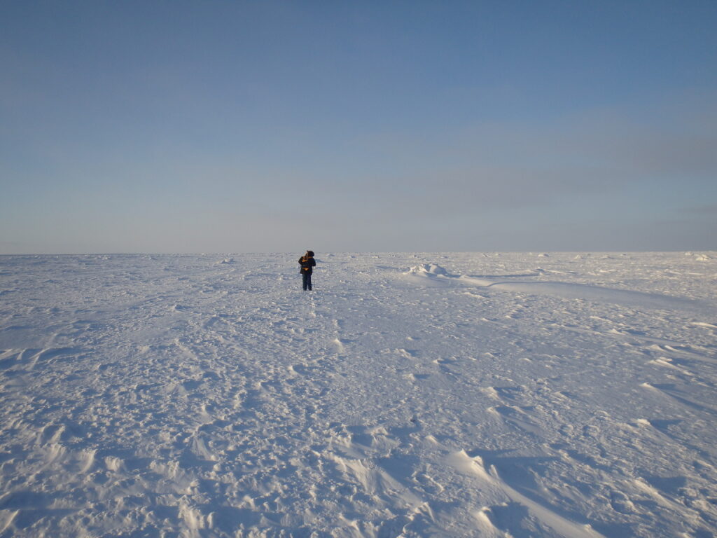
Navigating on sea ice @ Churchill, Manitoba, December 2021
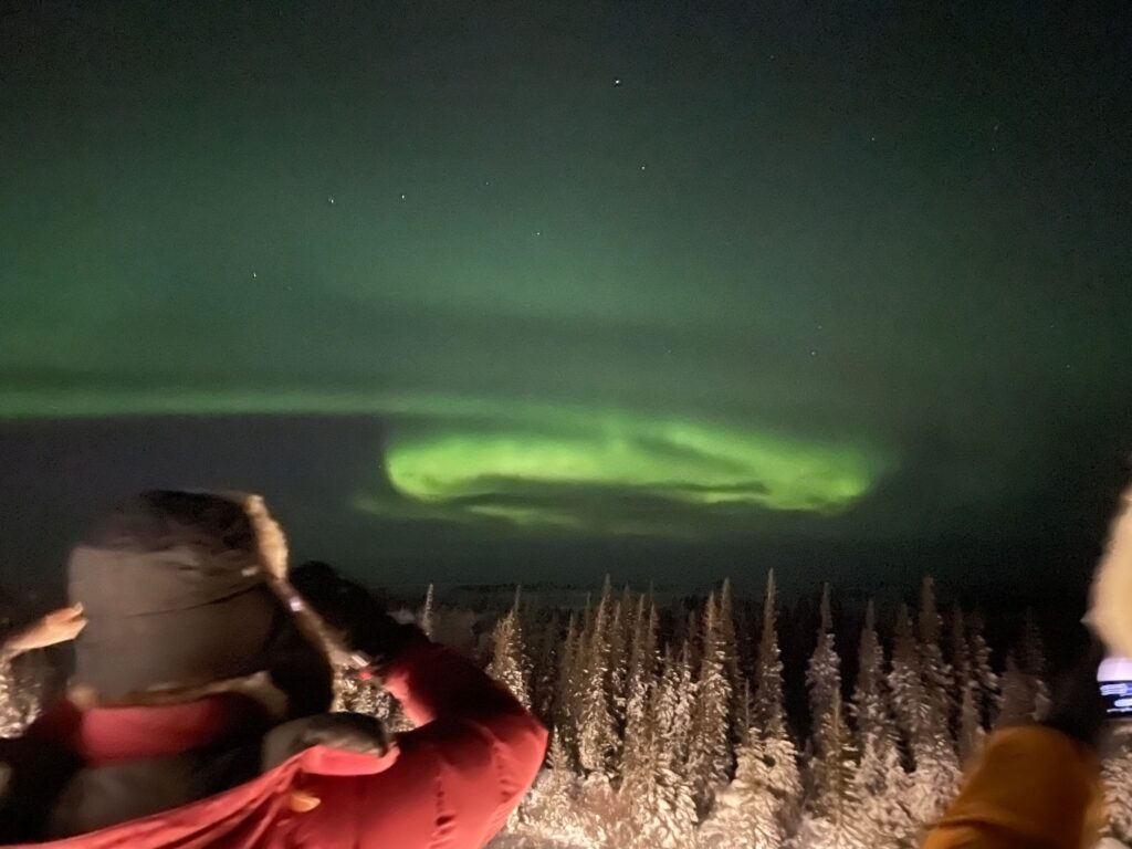
Seeing the Aurora for the first time @Churchill, Manitoba, December 2021
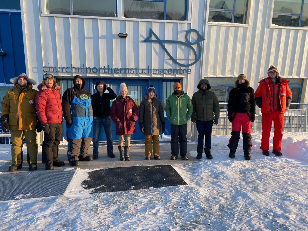
With the research team lead by Dr. Julienne Stroeve during Churchill Field Campaign, December 2021
Surveying on Sea Ice, Churchill, Manitoba
Work Experiences
August 2024 to Present
University of Maryland & NASA Goddard Space Flight Center
Graduate Research Assistant

Graduate Research Assistant with Department of Geographical Sciences, University of Maryland and the Cryospheric Sciences Division, NASA Goddard Space Flight Center

March 2024 to July 2024
Sub Label
Faculty Assistant

Research on near-coastal remote sensing of sea ice as a Faculty Assistant at Earth System Science Interdisciplinary Center (ESSIC) and NASA Goddard Space Flight Center.

March 30
Center for Earth Observation Science, University of Manitoba
Research Technician

Collaborated with the Government of Manitoba on ice road mapping especially over lakes. 

August 2022-Present
Friends of Sebago Lake
Climate Data Analyst

Gather existing climatic data including temperature, relative humidity, precipitation and snowfall focusing on regions that are climatologically affected by the operation of large hydropower dams, reservoirs and flow regulation in Canada.

Feb 2022-Present
University of Manitoba
Teaching Assistant

GEOG 7872 Advanced Methods in Geomatics, Department of Environment and Geography
University of Manitoba

Apr 2021-Present
Academic Learning Centre, University of Manitoba
Writing Tutor

Actively engaging with students to analyse their writing drafts and provide feedback on the writing process.

Jun 2021- Dec 2021
Manitoba Agircultural Service Corporation (MASC)
GIS Analyst

Transform static desktop based spatial geodatabase to Web-based dynamic ArcGIS Online platform
 Create spatial representations from MASC Agricultural Database
 Spatial Database management

Jan 2020 to Dec 2020
Bengal Institute for Architecture, Landscapes and Settlements
Research Apprentice
  • Remote Sensing applications for detailed city-scale applications in Dhaka, Rajshahi and Sylhet
  • Geospatial database management
My Instagram Feeds
Contact Me